- Home

- Local Real Estate Agents
- Ashburton
Ashburton Real Estate
Tree-lined streets.
Historic homes, luxury residences & boutique developments.
Strong community spirit.
Tree-lined streets.
Historic homes, luxury residences & boutique developments.
Strong community spirit.
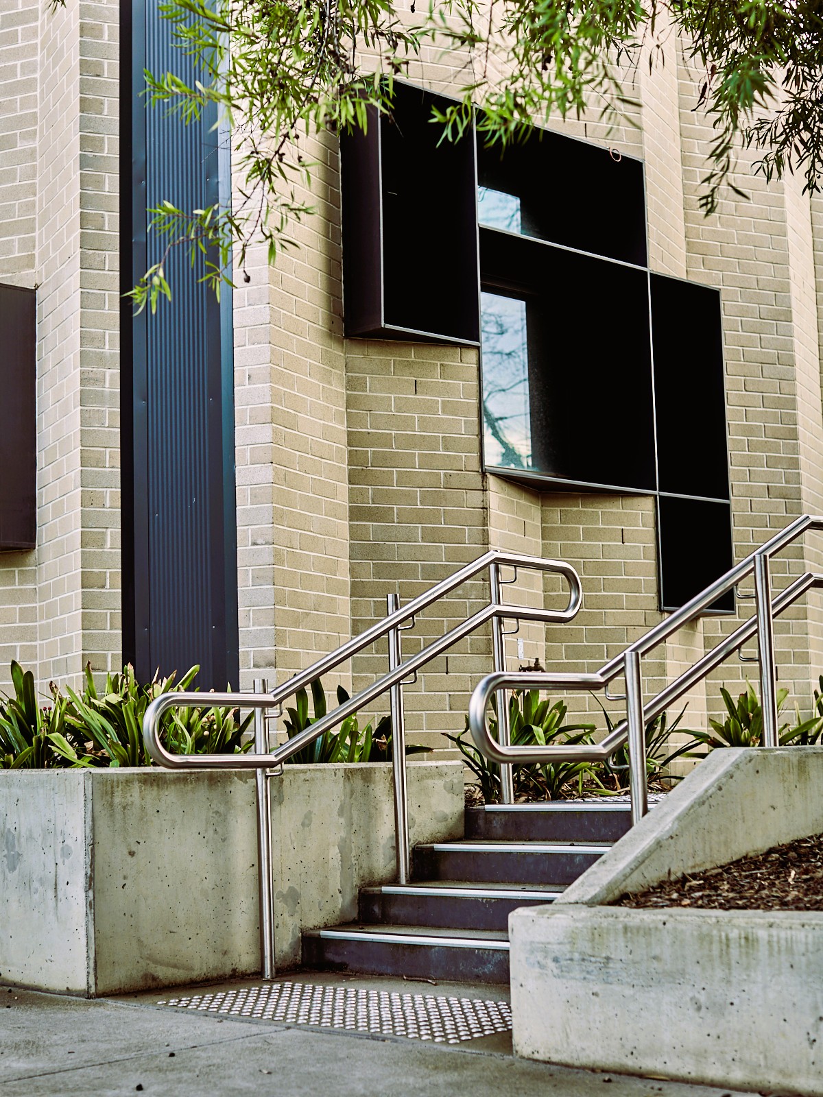
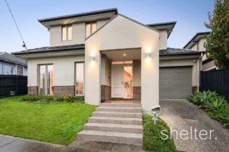
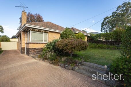
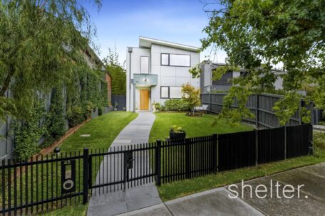
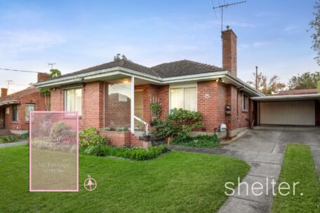
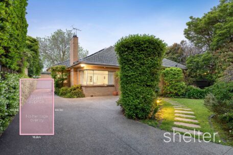
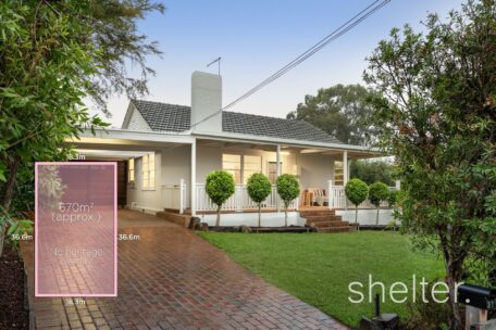
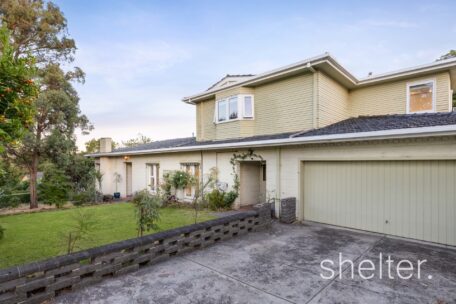
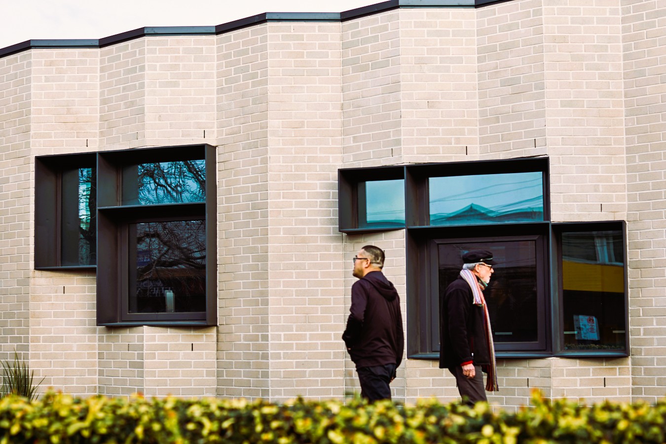
Ashburton is just 12km from the CBD and has been Melbourne’s south-east rising star suburb for the past decade. With its tree-lined streets, quaint historic houses, sophisticated luxury homes and boutique developments, Ashburton is the perfect choice for couples and families wanting the ultimate in lifestyle, convenience and a real sense of community.
All equipped with nothing amiss, and an easy commute to the CBD, you’ll find families filling the natural surroundings, professionals forging their futures and long-time community members fulfilling their local commitments to this intimate and engaging area.
With quality primary schools, tertiary educational facilities easily accessed, and close proximity to the CBD, Ashburton is an excellent place to start and raise a family and create your forever home!
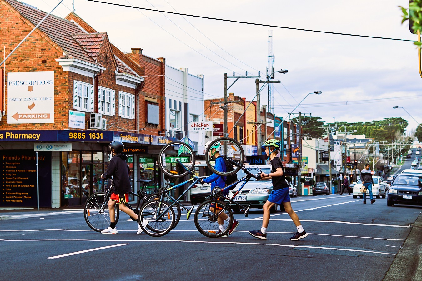
Boasting an attractive village atmosphere and a special sense of community, experience High Street’s entrenched local businesses, such as specialty food stores and florists dedicated to loyal and long-standing patrons along with emerging cafés, restaurants and a boutique scene that seems to be growing with purpose and enthusiasm.
With an abundance of community centres, groups and clubs, Ashburton has something to offer all ages! Take a dip at the local pools, get cosy and read a book at the Ashburton Library, take the family and furry friends to one of the many parks, trails and reserves, find a bargain at the local thrift stores, or grab a coffee from the Village.
Ashburton locals are supported by a comprehensive rail and road network, with two train stations, local bus services and easy M1 accessibility.
Shelter Real Estate Agents Ashburton are locals who know and love the area. We are passionate about the opportunity to assist you buy, sell or rent in Ashburton.