- Home

- Local Real Estate Agents
- Malvern East
Malvern East Real Estate
Affluent, peaceful & progressive.
Old world charm.
Family-focused.
Affluent, peaceful & progressive.
Old world charm.
Family-focused.
Affluent, peaceful and progressive, Malvern East is only 12km from the CBD and boasts a remarkable range of architecture from beautiful Edwardian, Victorian & Art Deco homes to sleek and stylish executive developments, fusing old world charm with the modern day contemporary movement.
With a sense of familiarity and an active, family-focused atmosphere, you’ll be eager to explore what lies within this pretty postcode.
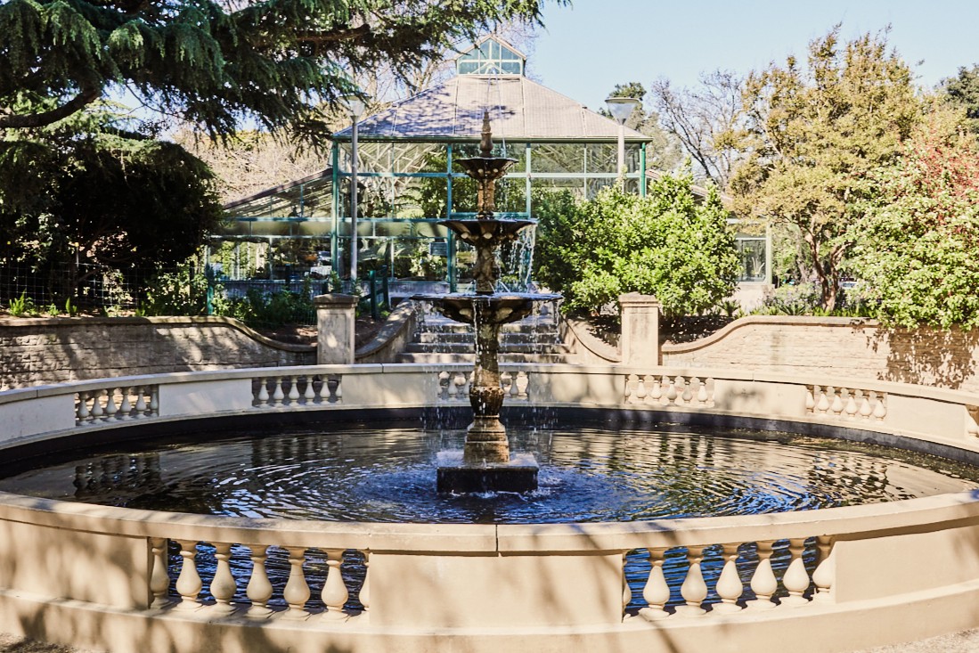
Gather in the lovely Central Park a popular spot for relaxation or recreation with family, friends, pets, fitness enthusiasts and local sporting clubs. These active grounds also welcome a number of community & festive events throughout the year. Charming cafes and chic shops border Central Park, local conveniences and eateries thrive on Darling Road but most famously Malvern East is known for the largest shopping centre in the southern hemisphere – Chadstone Shopping Centre.
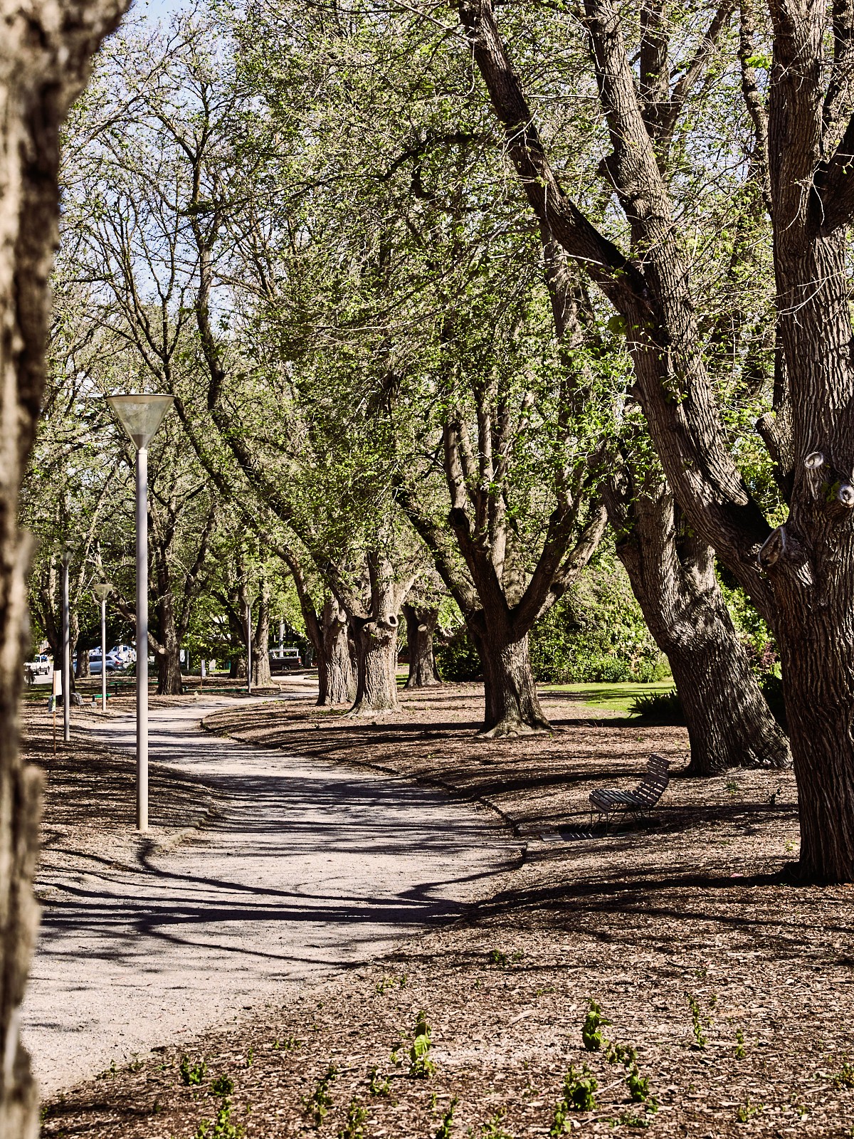
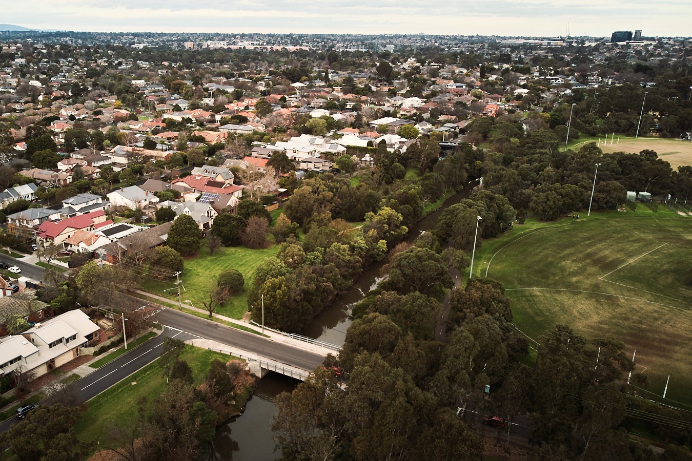
A serene family-focused sanctuary hidden away from the pulsating city, locals are attracted by the peaceful Gardiners Creek community walking trails and bike paths which join to and are an integral part of the Greater Melbourne network of bike paths, Malvern Valley Public Golf Course and the unique linear Hedgeley Dene Gardens.
Shelter Real Estate Agents Malvern East are locals who know and love the area. We are passionate about the opportunity to assist you buy, sell or rent in Malvern East.